
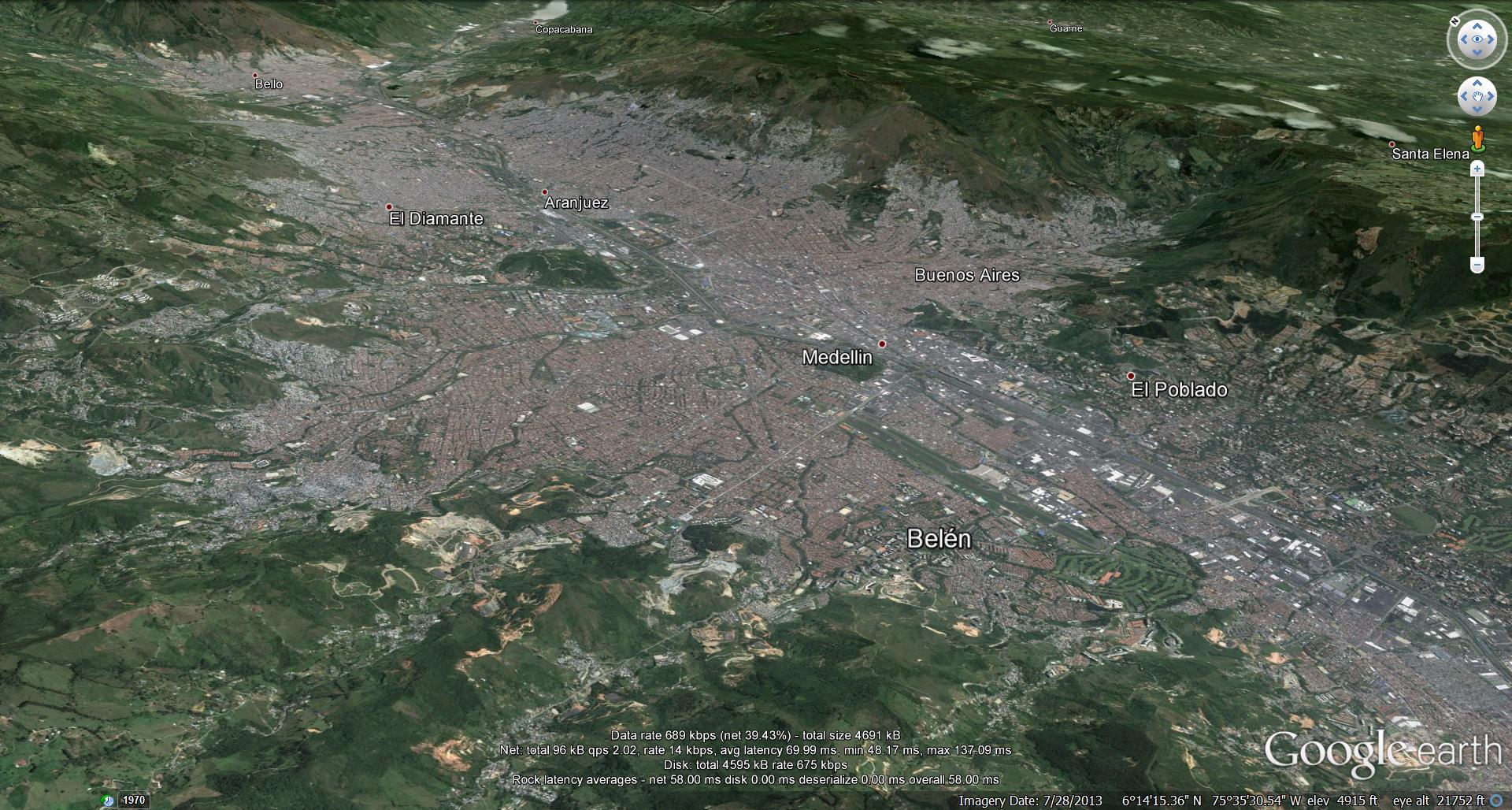
A brief post today, wrapping up documentation for the Medellin armature project. First, a bit of site analysis.

![google earth history [Converted]](https://adamachrati.com/wp-content/uploads/2014/01/site-context1.jpg)
![google earth history [Converted]](https://adamachrati.com/wp-content/uploads/2014/01/site-strategy1.jpg) At a certain scale the world plan seems inappropriate. Map would seen to indicate a bit more freedom, a bit more looseness resulting from trying to represent a territorial scale.
At a certain scale the world plan seems inappropriate. Map would seen to indicate a bit more freedom, a bit more looseness resulting from trying to represent a territorial scale.

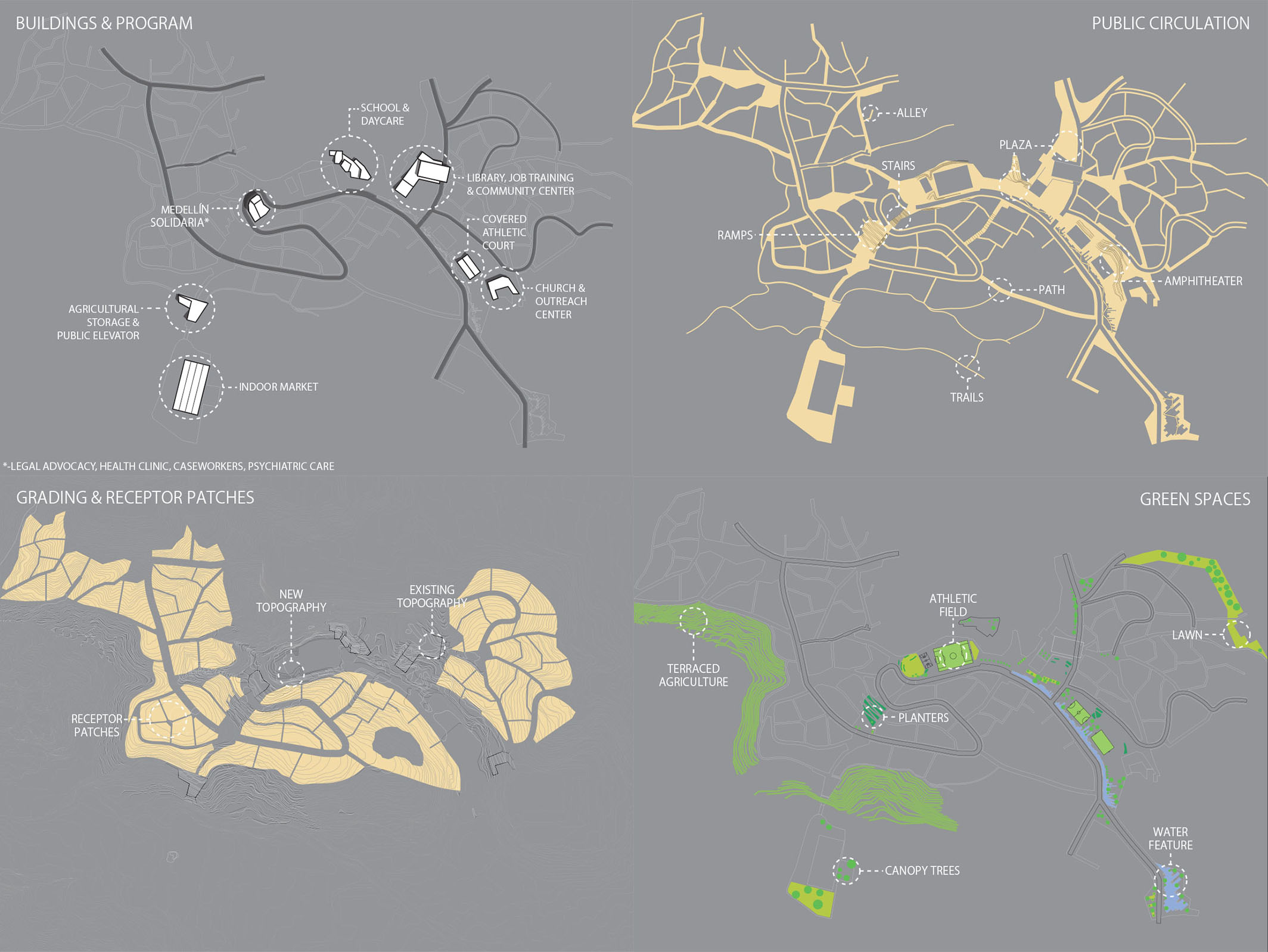 Even design moves, taken at this scale, would seem to be mapping out potentials rather than ascribing a definitive plan.

Leave a comment