
this post is part 2 of a series covering my trip to Algeria this past February
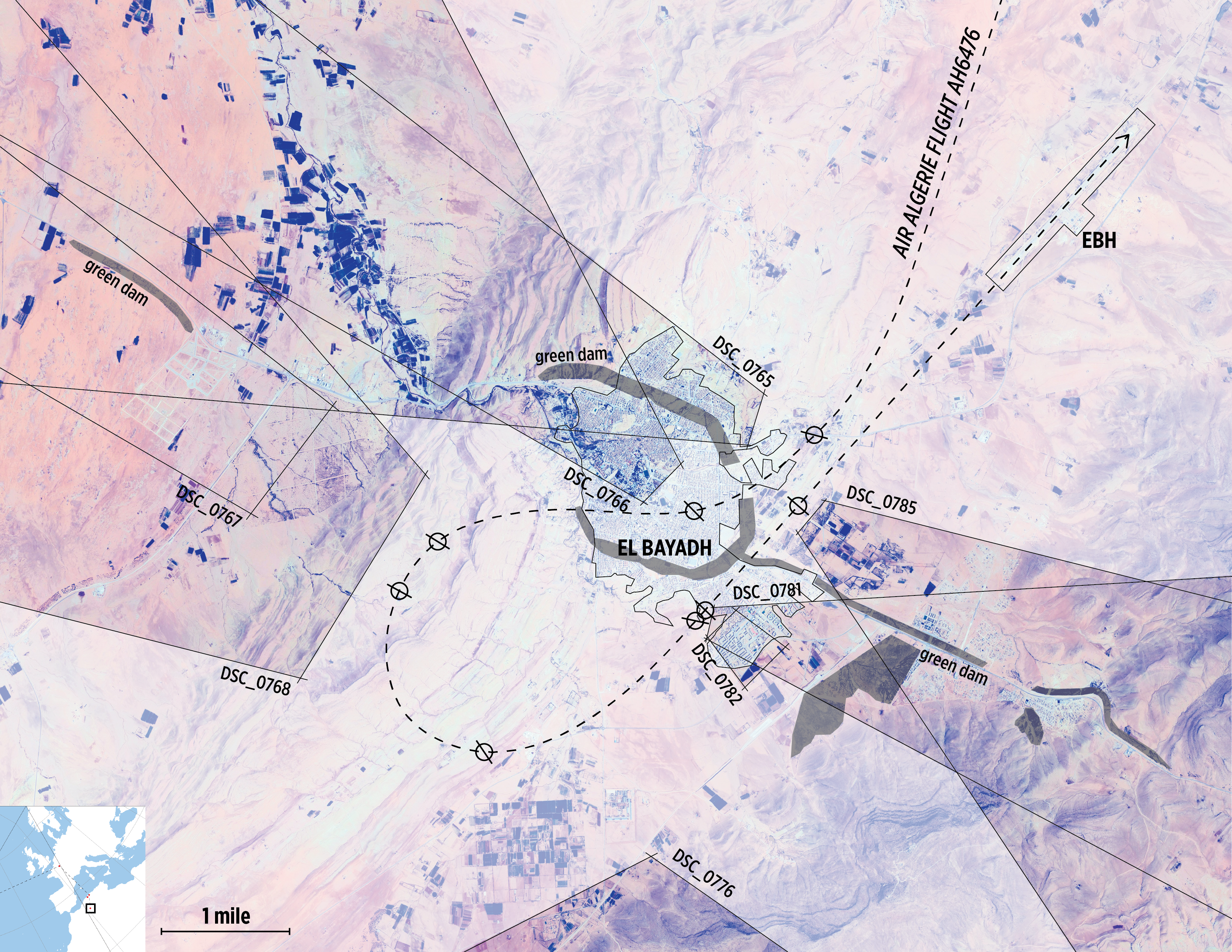
The previous post reviewed photographs taken from a flight from Algiers to El Bayadh in February, comparing the bird’s eye view from the plane to the God’s eye view of satellite imagery. As the flight approached El Bayadh we took a loop above the city in order to approach the airport from the south. Based on the photos taken and the view of El Bayadh’s surroundings from satellite imagery, the estimated flight path is shown below:
The Green Dam
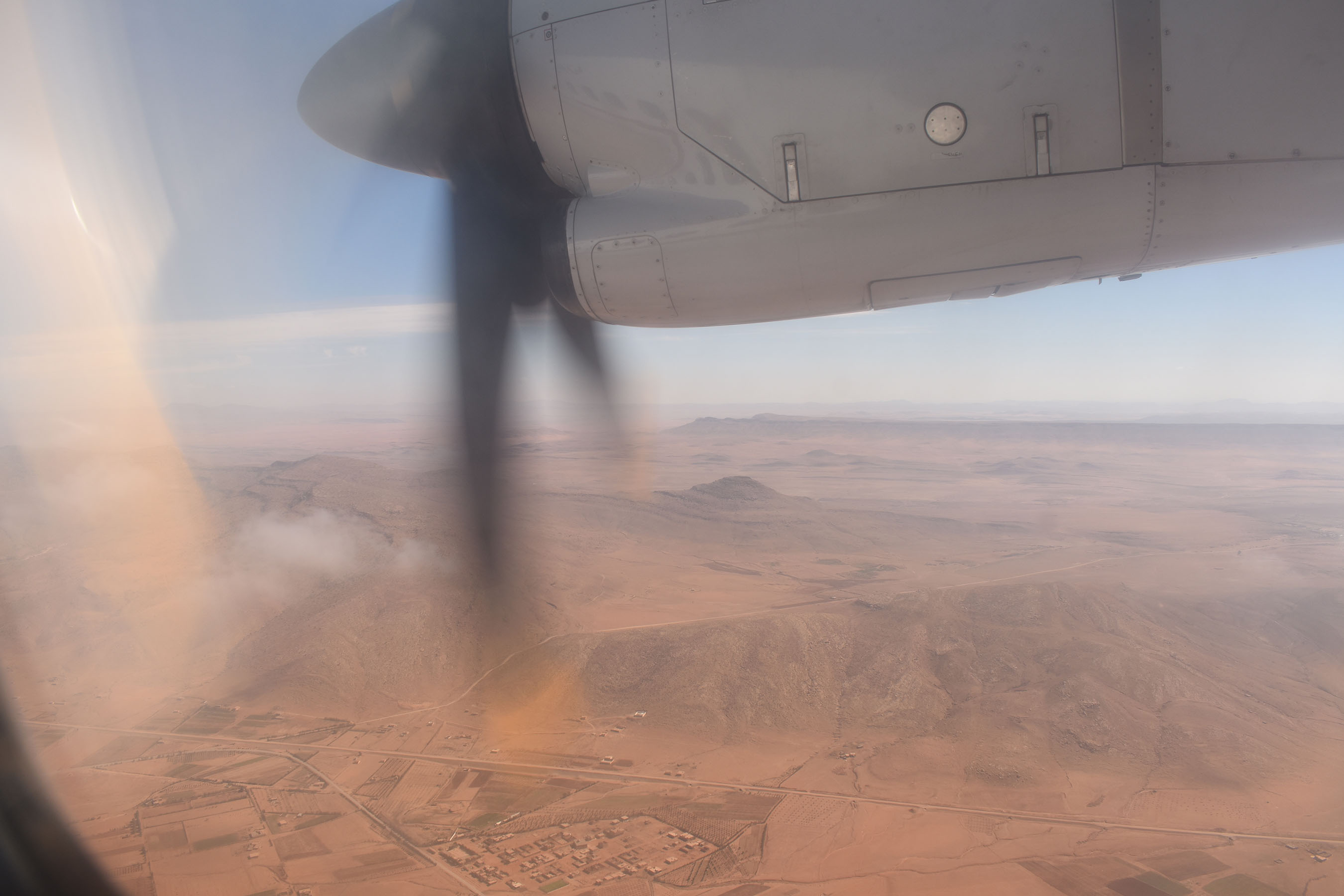
Included among the keyed photos are small dark bands representing a grand reforestation project undertaken by the Algerian government starting in the 1960s with the aim of protecting inhabited urban areas from encroachment from the Sahara. When I first encountered them I was charmed by the curiosity of these bands of trees interrupting the dry countryside. These man made forest have a darker side, including their use to (intentionally or not) interrupt and disrupt the grazing lands of local shepherds. The geographer Diana K Davis takes on the history of and myths relating to desertification and the many issues associated with geo-engineering projects like Algeria’s ‘green dam’.
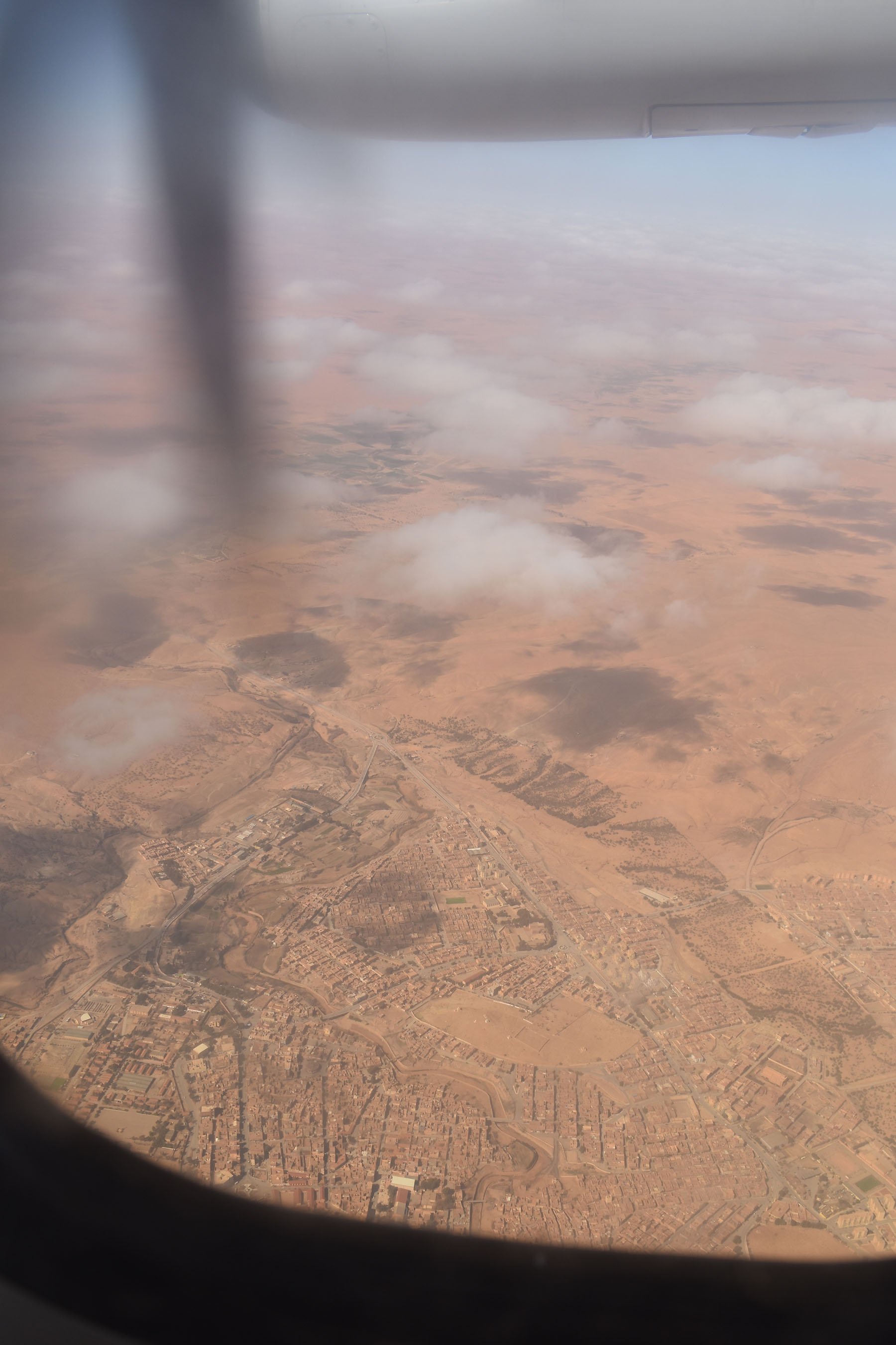
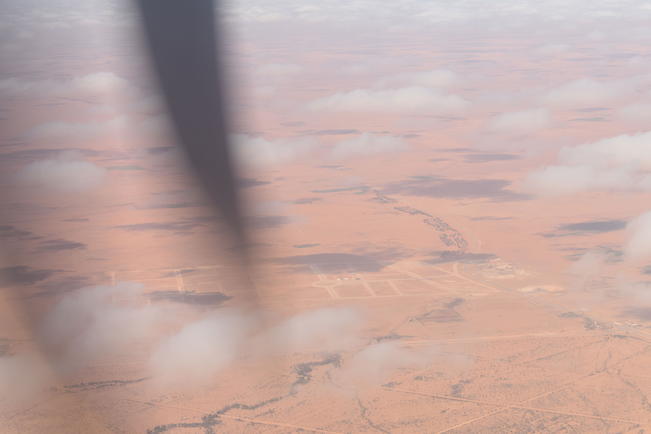
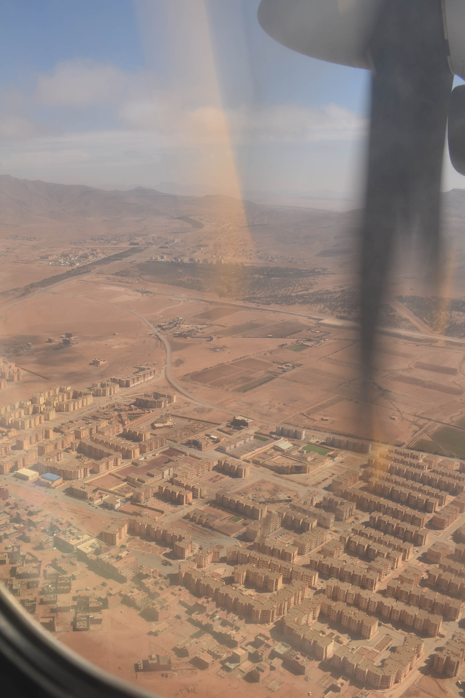
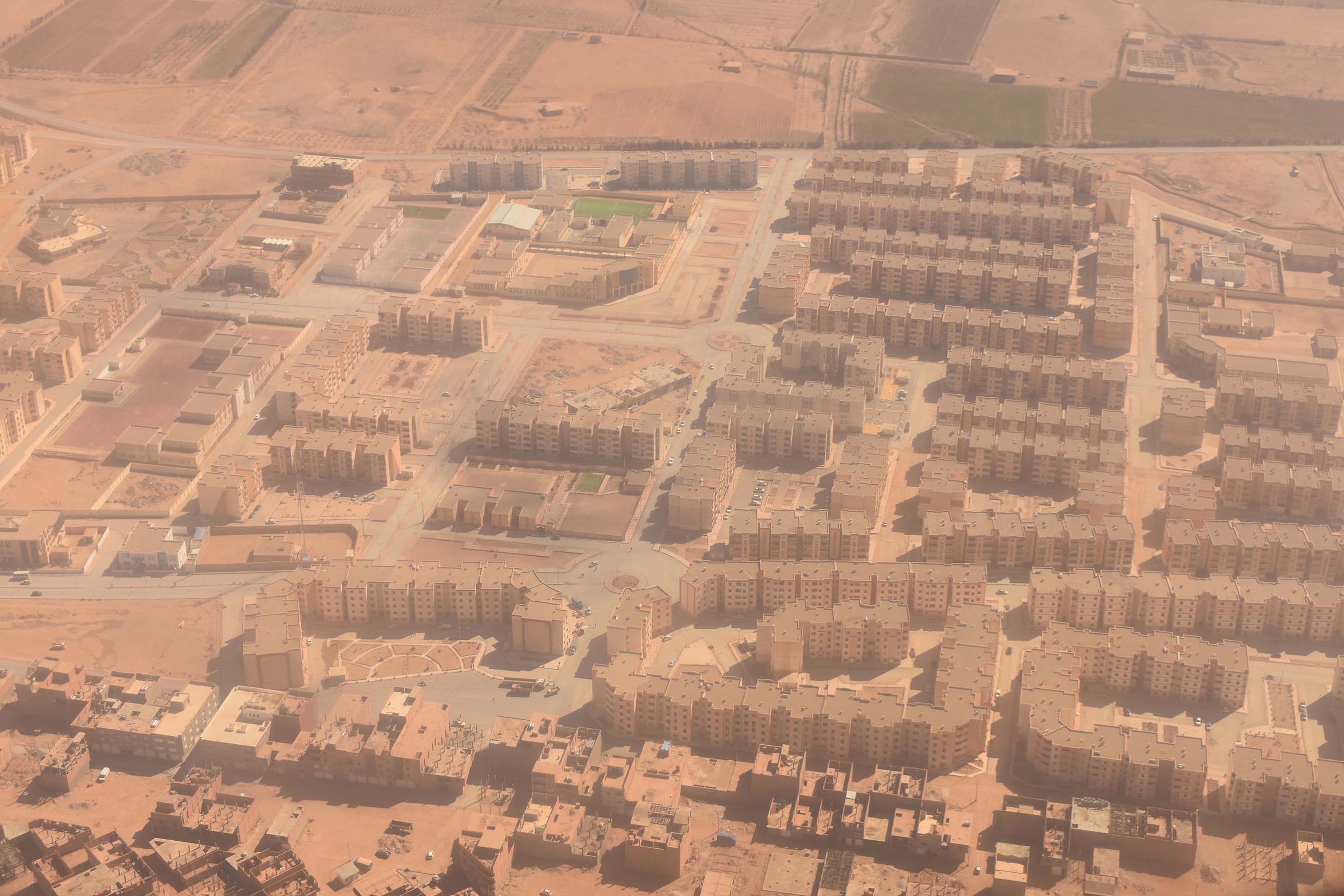
The forested areas around El Bayadh are visible in most of the images below, all of which were taken on the final descent of flight AH6476. These images are keyed in relation to the flight path on the map above.
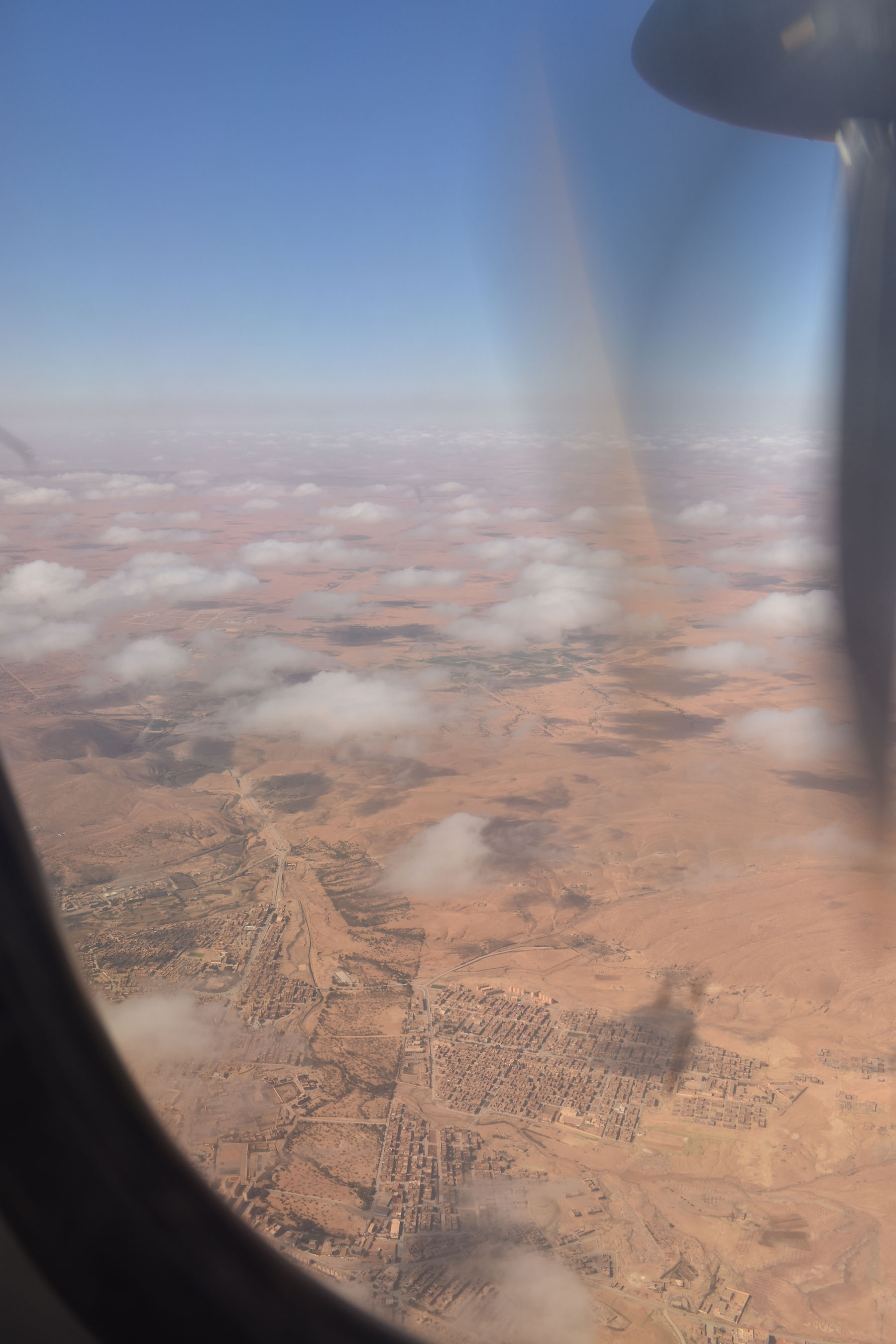

northwest of town
of El Bayadh
south of El Bayadh
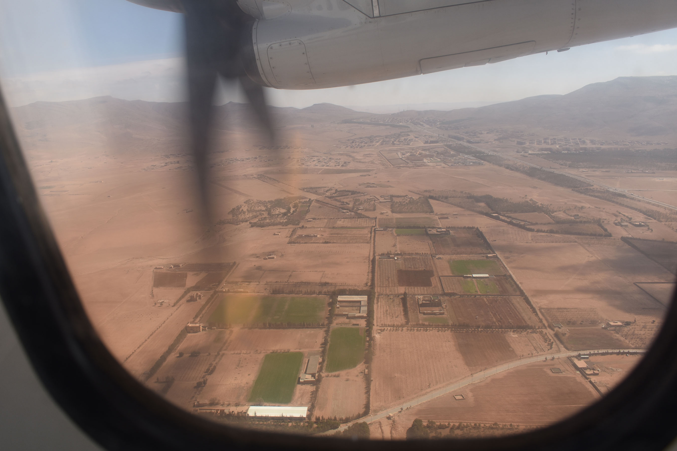
University of El Bayadh in the midground

