
this post is part 6 of a series covering travels in Algeria
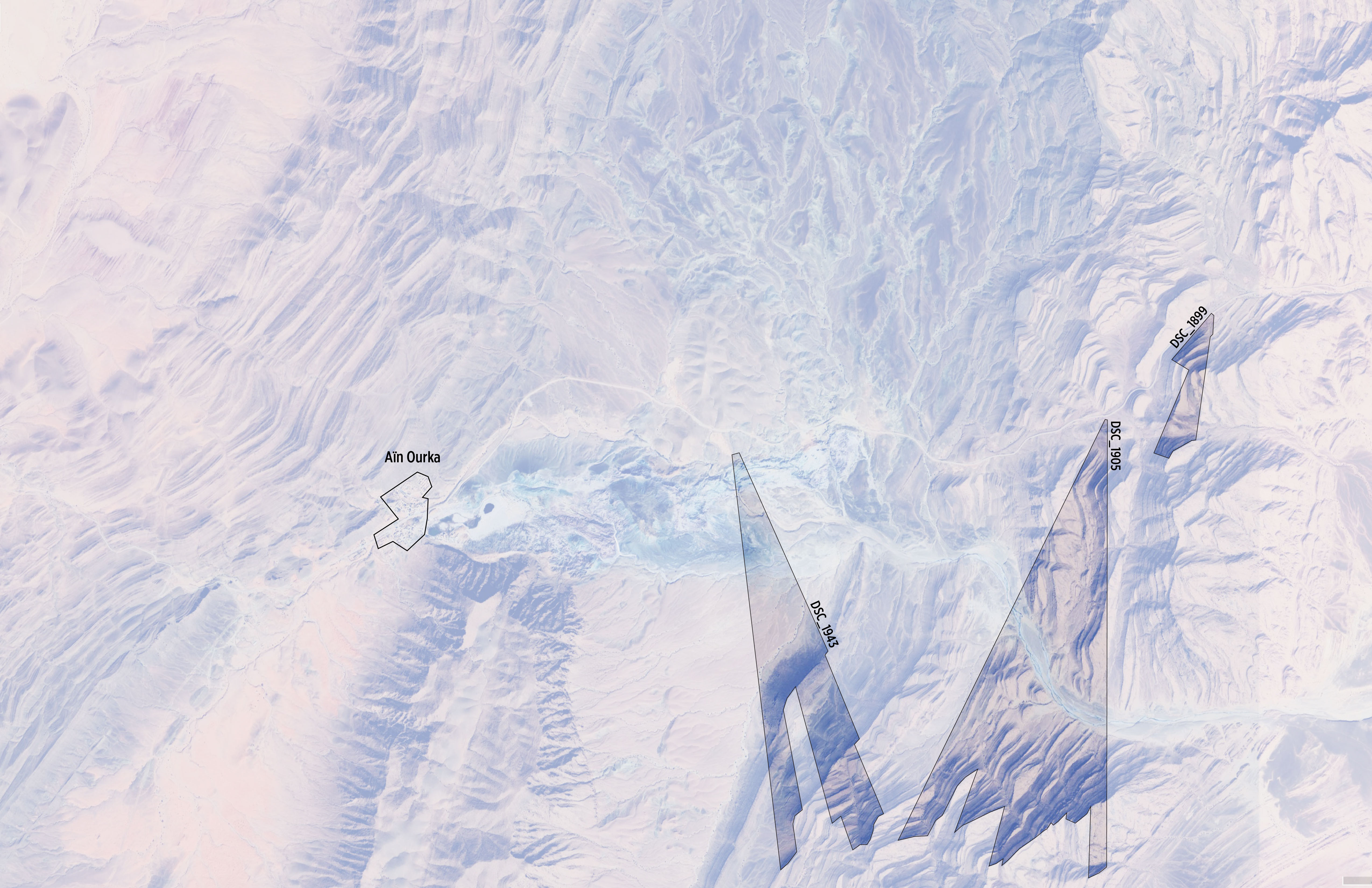
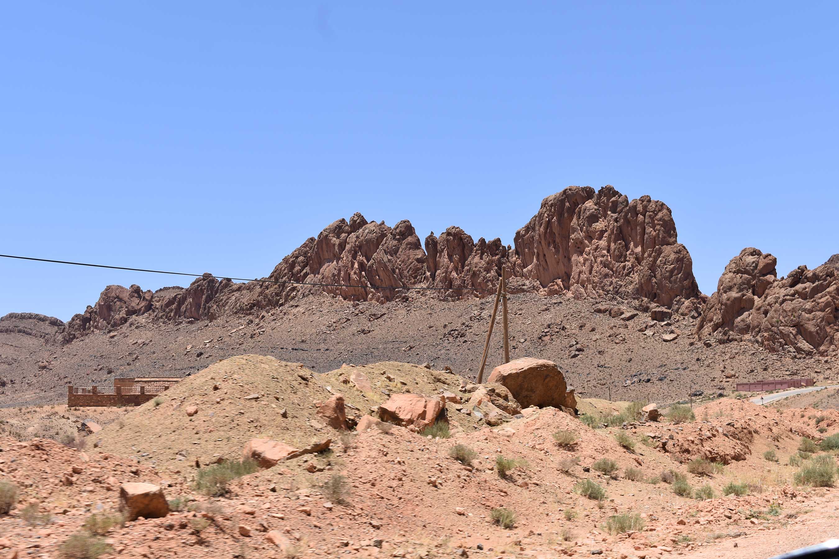
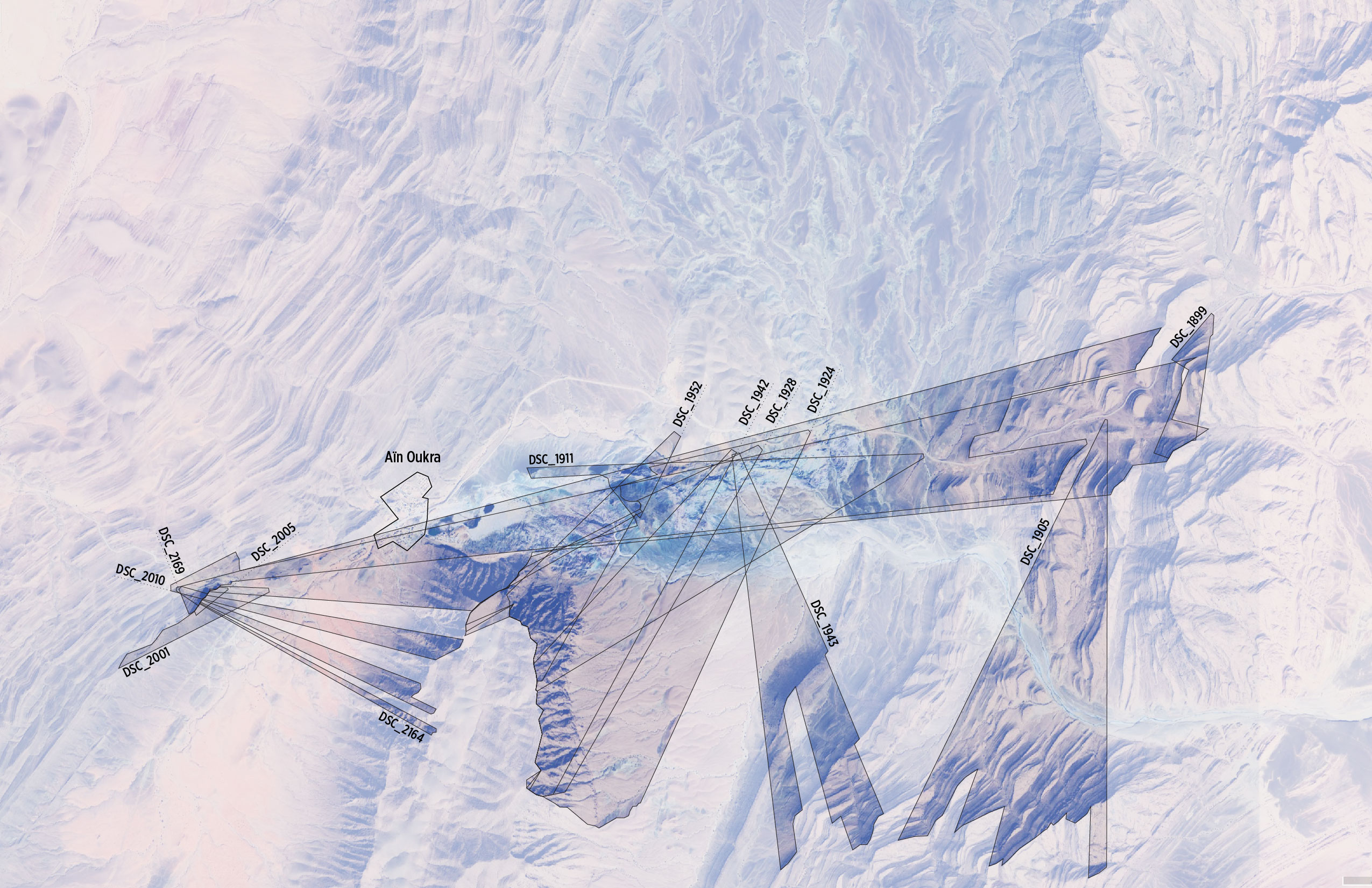
On the way to Aïn Sefra, just southwest of the historic medina in Boussemghoun, is the small thermal spring town of Aïn Ourka. The outpost is located between a few mountain ranges and next to a hill of bluish-grey soil. The town is home to both hot and cold springs renown for their therapeutic qualities, and is surrounded by some of the most dramatic geological formations in the region.
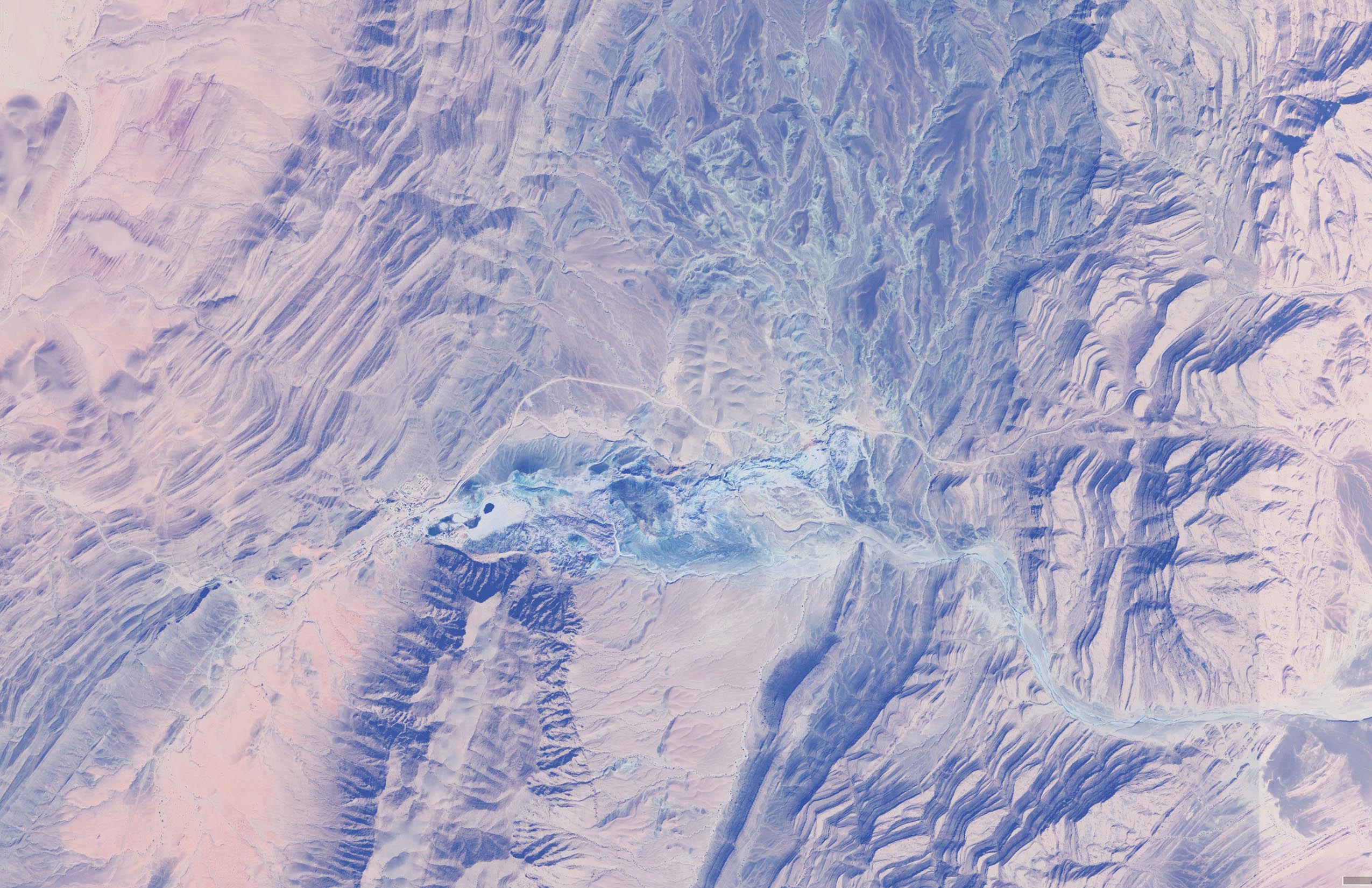
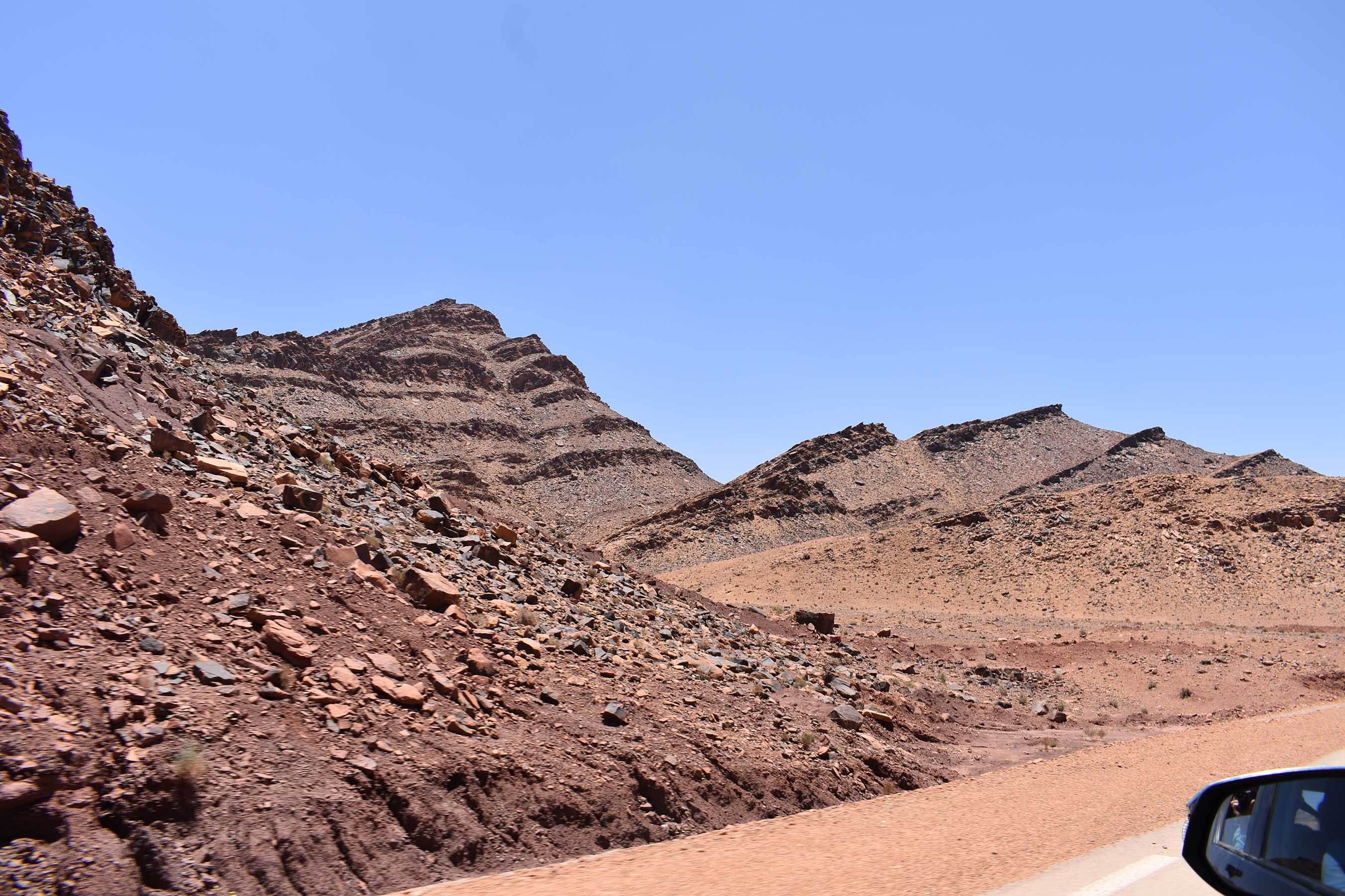


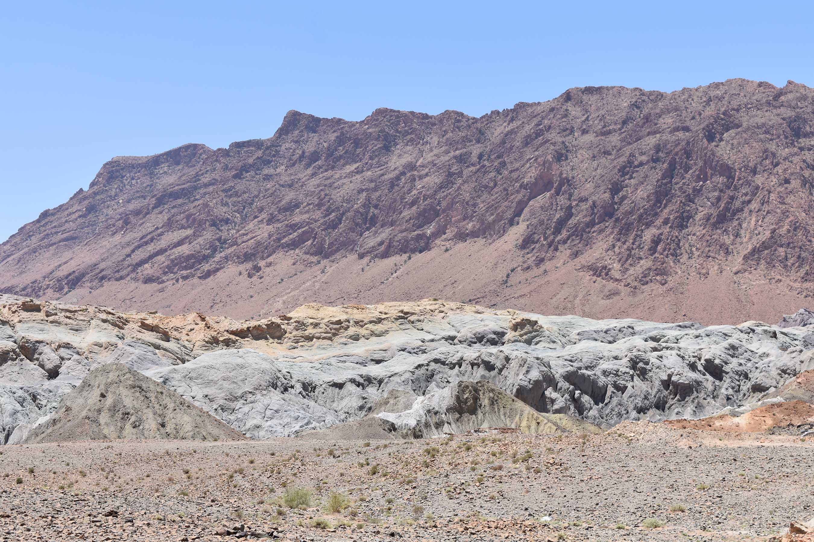
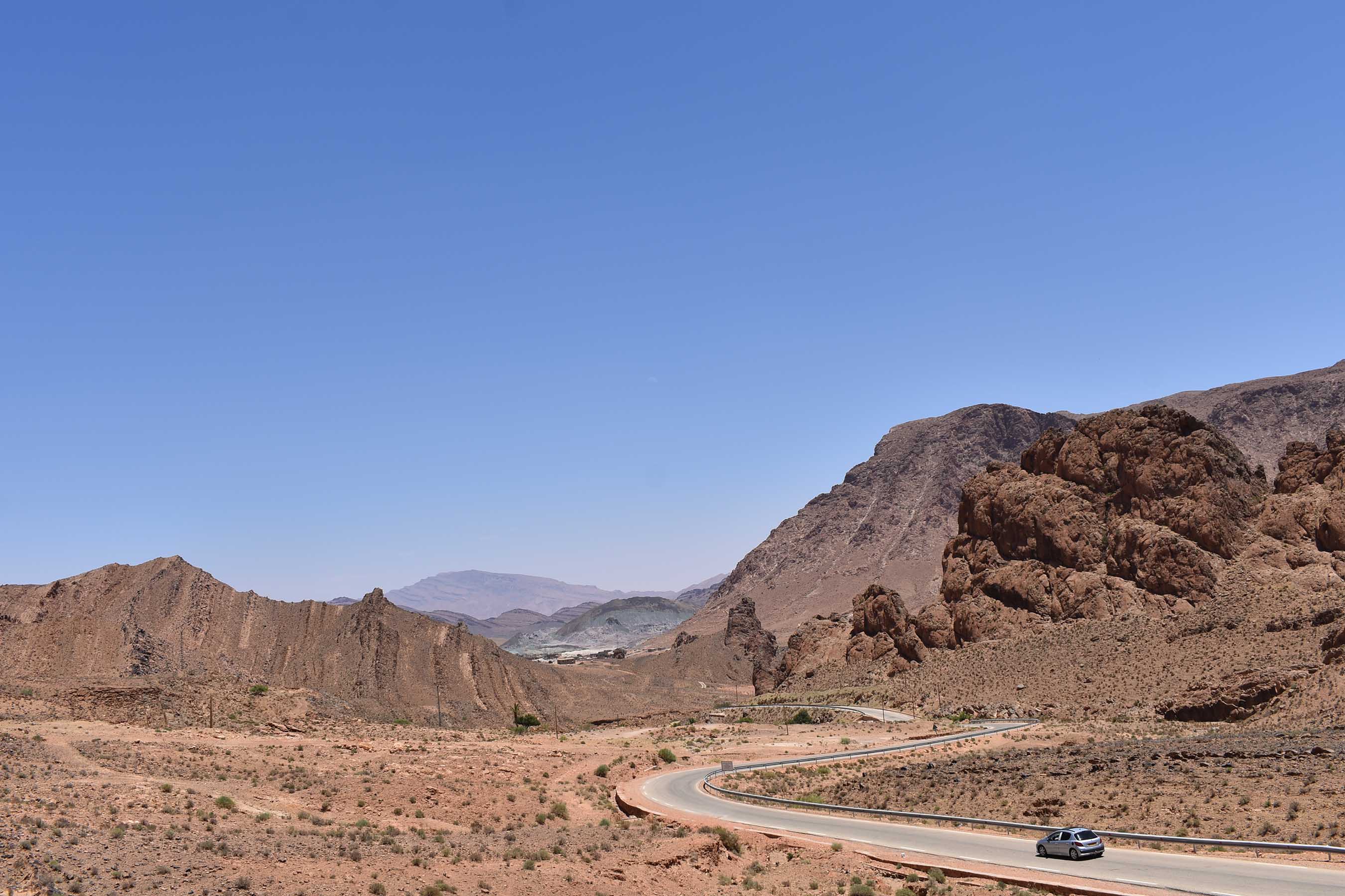
Our approach from the east took us through more of the dramatically striated peaks and valleys found on the road to Brezina. Past this range the approach to Aïn Ourka passes a lunar landscape of grey, blue and yellow soils. The following description of Aïn Ourka’s geology is taken from a 2003 governmental report on the ‘geothermal wetlands’ which are home to “two small ponds with salty, clear and deep water”.
The relief … is characterized by the outcrop of variegated marl1 and the ophite2 of the southern Atlas range occupying the bottom of an immense cirque3 in tiers … The multiple, very bright colors of the marl in this outcrop, those of the rocks and ophitic tuffs on which the white veneers of the saline efflorescence stand out contrast with the dark hues of the cliffs and terraces of the mountain ring which surrounds it.
…the Aïn Ouarka range is an integral part of the Ksours mountains4, a region that is well individualized from a structural point of view and which was folded during the Alpine orogeny5. The folding of the flexible and brittle deformations resulting from the tectonic complexity are of the Jura6 type, characterized by a succession of vast synclines and anticlines. … The Triassic outcrops at the heart of this anticline … [are] made up of variegated clays forming the largest part of the Diapir7, with basalt salt and green rocks.


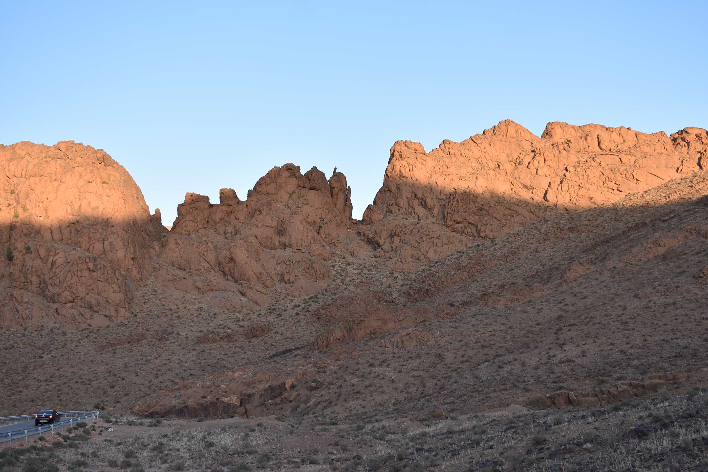
Just west of the town is another ridge line of extra-terrestrial geology. These cliffs were equally impressive going (heading west, serving as a dramatic conclusion to the valley), or coming (returning east, providing a frame for the valley beyond).


- an unconsolidated sedimentary rock or soil consisting of clay and lime ↩︎
- any of various usually green and often mottled or blotched rocks ↩︎
- bowl-shaped, amphitheater-like depressions that glaciers carve into mountains and valley sidewalls at high elevations ↩︎
- mountain range in western Algeria ↩︎
- tectonic plate convergence which creates mountain ranges ↩︎
- mountain range in the western Alps (France/Switzerland) ↩︎
- a domed rock formation in which a core of rock has moved upward to pierce the overlying strata ↩︎
For further reading on the ecology of the town, see the scholarly paper Hydraulic managment of the arid ecosystem of Ain Ouarka.

Leave a comment